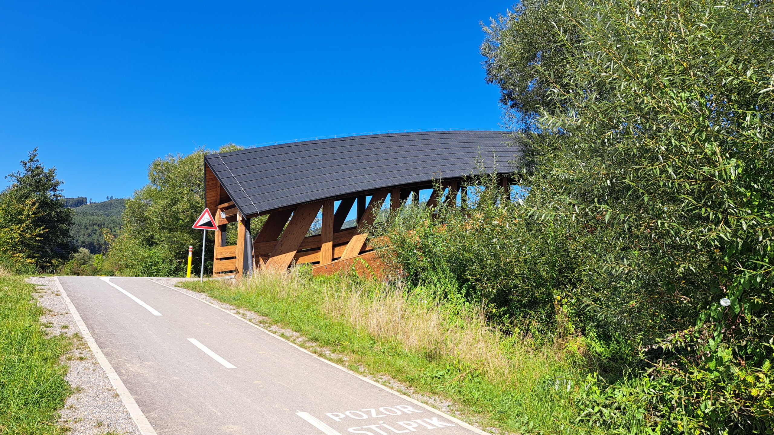
The Žilina Dam – Terchová Cycle Highway
 Upper Považie Region
The Žilina Dam – Terchová cycle artery offers cyclists a safe connection between Žilina and Terchová. It passes through the villages of Teplička nad Váhom, Nededza, Gbeľany, Varín, Krasňany, Stráža, Lysica, Belá, and all the way to Terchová. The main branch of the cycle route runs from the Žilina Dam through the village of Varín, following the Varínka River up to Terchová. The secondary route on the Teplička nad Váhom - Varín section and the connecting route A link the main route with the villages of Gbeľany, Nededza, and Teplička nad Váhom. It is also possible to cross back to the dam via a new bridge in Teplička nad Váhom. The entire cycle path is just over 23 kilometers long, featuring mostly an asphalt surface and a gentle elevation gain; the altitude profile follows the terrain it passes through without any major changes. The route is enhanced and complemented by several bridges and footbridges, with a total of 18 crossings along the way. The cycle path connects to a network of mountain bike trails around Malá Fatra Mountains, Žilina, and Kysuce, spanning more than 500 kilometers. The route runs along an asphalt cycle path and is suitable for a road bike.
Cycle route No: 038
ROUTE: Vodné dileo Žilina – (Teplička nad Váhom – Nededza – Gbeľany) – Varín – Krasňany – Stráža – Belá – Terchová
Parking
Parking areas are located on both sides of the Žilina Water Dam, with an additional parking lot at the entrance to the village of Mojš.Galéria